")

GEOmedia 3 2015 Special Issue in English by Franco Guzzetti and Alice Pasquinelli
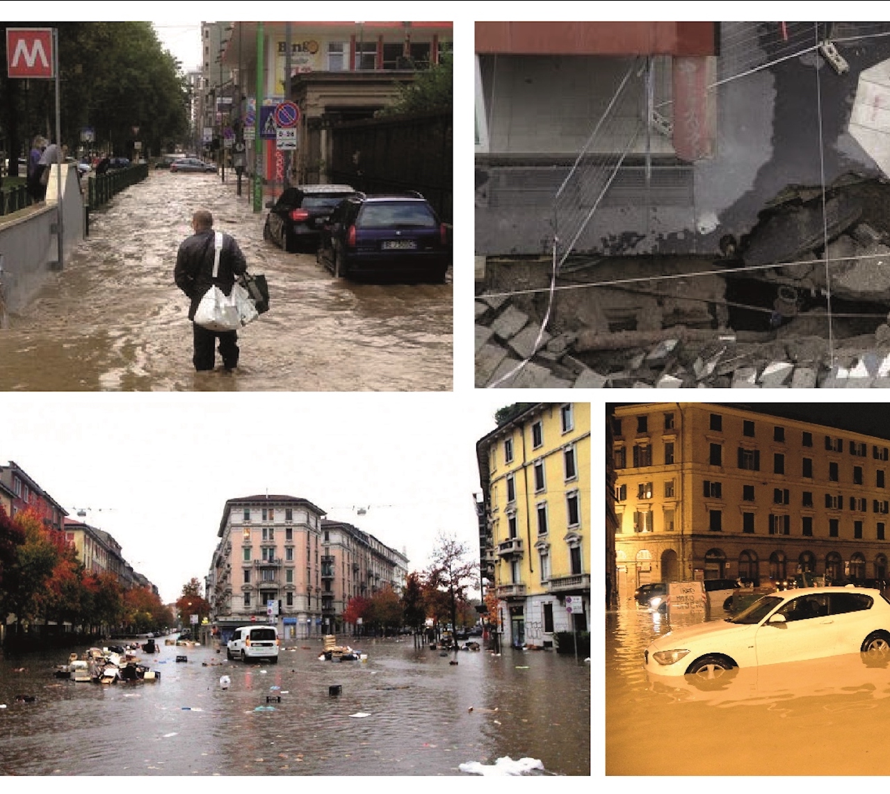
The use of Geographic Information Systems for management purposes is going beyond the traditional field of territorial government and new applications are developed supporting other sectors dealing with territorial issues: insurance industry is one of the sectors where spatial data are acquiring importance, introducing an innovative way for the definition of flood risk insurance premiums.
During year 2014 the ABC department of Politecnico di Milano, with the technical support of R3 GIS company, undertook a research project with a major insurance company: the scope was the development of a management system aimed to support the underwriting process of flood insurance policies in the consumer market. The topic of flood risk is strictly related with territorial and geographic features, such as the presence of a river, the interference of human activities, constructions and modification on natural environment, the protection and mitigation measures adopted in order to reduce assets exposure...