English (UK)
  Italian
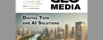
La Comunità di interesse sui Sistemi di Riferimento Geodetici – Europei, istituita da UN-GGIM, è dedicata al sostegno e allo sviluppo della professione geodetica. Read More
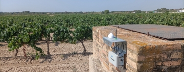
The editorial contributions in this issue of GEOmedia fall in the context of Geomatics and Pandemic. Some techniques were developed Read More


📧 redazionemediageo@gmail.com
Contributions for the Focus, Report, and Guest Paper sections Read More
Last english issue
V. 28 N. 3 (2024): GEOmedia 3-2024
Latest news from Geoforall.it


Load More
0
Paper readers
0
Digital readers
0
Social follower
0
Issues in 28 years

mediaGEO has received financial support from the Lazio Region for the Internationalization project related to the POR - FESR 2014-2020.
GEOmedia, the first Italian magazine on geomatics for the environment, territory, and culture, with a scientific and popular approach. For almost 30 years, it has been publishing topics related to technologies for data acquisition, analysis, and interpretation processes, particularly instrumental ones, concerning the Earth's surface.
The content published by the magazine is stored in the PKP Private LOCKSS Network for long-term preservation. The DOI is available upon request.
ISSN 1128-8132, indexed in the best international databases.