 Italian
  English (UK)
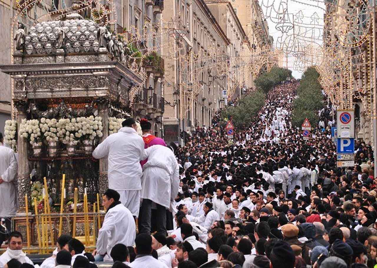
Si presenta un’applicazione GIS per l’analisi del rischio e la gestione dei soccorsi durante la celebrazione della festa patronale della città di Catania. Il progetto è stato sviluppato nell’ambito del Laboratorio di Telerilevamento e GIS previsto nel piano di studi del Corso di Laurea in Ingegneria per l’Ambiente e il Territorio erogato dal Dipartimento di Ingegneria Civile e Architettura dell’Università degli Studi di Catania.
On 3rd, 4th and 5th of February Catania celebrates its Patron Saint Agata with a religious festival gathering every year more than 700,000 people. The scientific article below reports an experimental approach of Saint Agata celebration, analyzing risks and excellent relief routes on Q-GIS
platform. The starting point of the project has been the collection of data about the street path of the celebration, such as paving materials, slope average and people density. All this information has been used to produce a risk scale to highlight the most dangerous phases of the procession. An example of excellent (relief routes) optimal path has been produced to reach the nearest hospitals. The project has been implemented using Q- GIS 2.0.1 and GRASS GIS.